|
| Great Blue Heron catching dinner at Tempe Town Lake |
 |
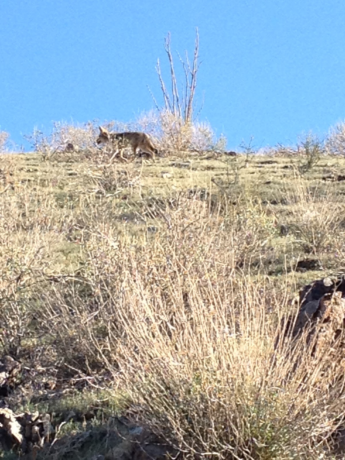
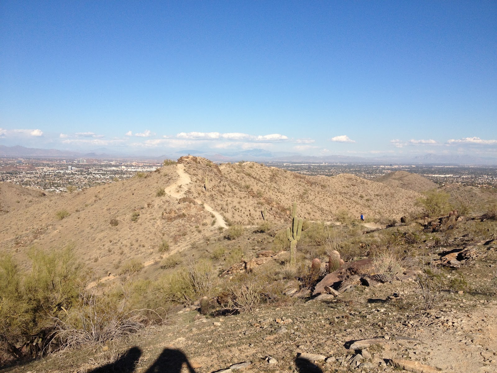
| Red Mountain Park Lake |
Tempe Town Lake is a man-made lake created by the damming of this section of the Salt River with inflatable dams. The way I like to do this lake is to park at Tempe Center for the Arts and begin the walk about 1.5 to 2 hours before sunset. If you begin at Tempe Center for the Arts, you will see a modern pedestrian footbridge going across the lake, but don't go over it yet! Instead, go due east towards Tempe Beach Park, and the old Mill Avenue Railroad Bridge will be the first bridge that you go underneath:

After going underneath the four Mill Avenue bridges, and past Tempe Beach Park with the rowers setting out for their before-sunset rows, you will continue along the path to the Rural Road (also called Scottsdale Road) combined pedestrian/vehicle bridge and turn left (north) over the bridge. Once on the other side of the bridge, turn left again (west) to begin forming a loop around the lake. Along the path coming down from the bridge, you might spot some people/trolls living underneath the bridge near some pygmy palm trees. Usually they are just sleeping. If you continue along the path, now due west, you will come to the marina:

Across the lake from the marina, you have good views of ASU and "A" Mountain with the lake in front. There is also public art along the path, and signage about the history of the lake and water usage. From the marina, under the four Mill Avenue Complex bridges, and then to the Tempe Center for the Arts footbridge is my favorite section if you are hitting this stretch just as the sun is setting. The whole loop is about 3.15 miles and well worth the walk if you are looking for water in the desert!