
Yup. Here's today ---->
Here's February 21st: (link)
Summer's scorching temperatures come on all too quickly in the Sonoran desert. After 16 years here, I have learned that it's freezing one day and too hot the next. We embrace this glorious spring while it's here.
That's why I elected to play hooky from everything today and get outside in the lovely 79 degree weather before we get rain on Friday. Our schedules, probably like most of the country, are really complicated so you just have to seize the day from time to time and follow nature's call.
Having a touch of spring fever, I was determined to find wildflowers today. Unfortunately, with the cold temperatures and snow we had recently, wildflowers are making a later appearance this season. I knew the only way I was going to find these elusive Mexican gold poppies was to find a south-facing, lower elevation hillside. We've had enough rain so I knew they had to be out there somewhere, but I haven't seen any of our local county or state parks posting definitive sightings.
Back to my trusty Superstition Mountains. Where I found snow on the northern flanks two weeks ago, today I found wildflowers on the southern flanks along the Lost Goldmine Trail. I have only done parts of the 9.5-mile Lost Goldmine Trail: the section leading to Broadway Cave, the section leading up to the hieroglyphs, and the far eastern section near Peralta Trail (which was pre-blogging.) One of the main reasons I haven't done the whole thing is it would require either (a) leaving a car at each end, or (b) doing an 19-mile round-trip hike -- neither option seems particularly fun to me. I like loop hikes. I don't want to see the same scenery twice.
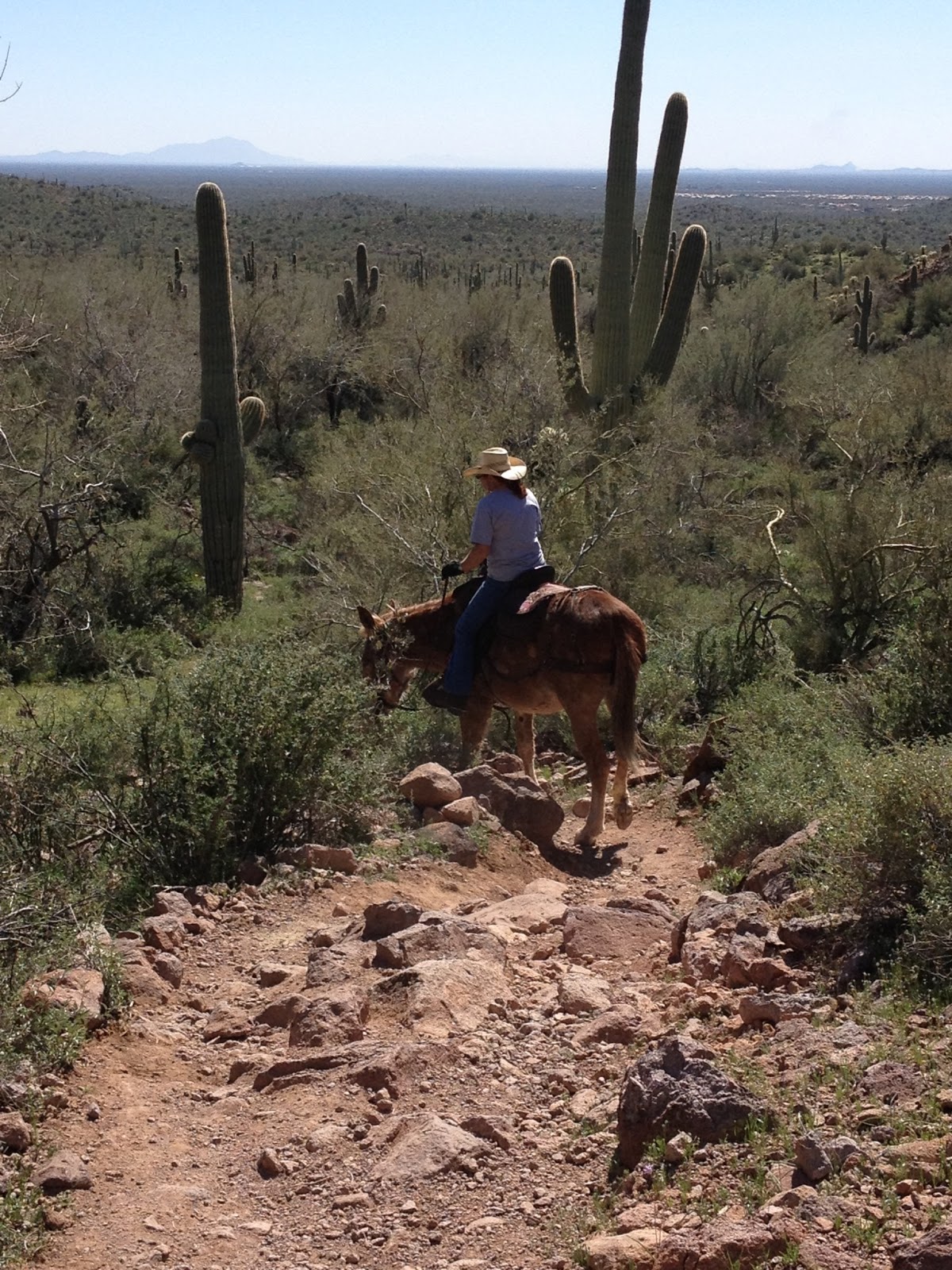
Often when I'm out on the trail, I think: "Who the heck took the time and energy to make this beautiful trail for all to enjoy?" I just can't imagine doing it. I think many people in life talk about taking on big projects and making positive changes in the world, but few actually follow through with plans. For the wonderful mountain bikers that made the Gold Canyon Trail System, you are all awesome! I hope you know how much enjoyment you have given hikers, bikers, and horse-riders with all of your labor. And these folks maintain the trails, too -- unbelievable! Lost Goldmine Trail was made by Superstition Area Land Trust volunteers in conjunction with Tonto National Forest, but the Cougar Trail that allows us to make a manageable 5-mile loop, sprung from volunteer mountain bikers. I highly recommend checking these trails out. If you are a hiker, I'll have you know that I didn't pass a single mountain biker on a midweek afternoon out there. No fears about getting run off the road, and they are polite anyway.
When you start out at the Cloudview Trailhead (I know this as the Hieroglyphics Trailhead but it is actually on Cloudview Road so there you go), you will follow the trail up the hill with everyone. Once at the top, there will be clear signage pointing either left for the Hieroglyphics Trail or right for the Lost Goldmine Trail -- go this way. If you hike this trail in the next few weeks, you will see clusters of poppies and lupines about 1.5 miles down the trail. Here's a sampling:


If you're too late in the season or weather destroys the flowers, there are still plenty of interesting landmarks along this trail: a Saguaro with a dislocated shoulder, a tree fort, and a sentinel grove:


Just remember to pay attention at around mile 2.3 because there is not an actual sign that says "Cougar Trail" when you are approaching from this direction. The sign says "<--- Lost Gold --->" and you will bear right up the hill here like this:

The Cougar Trail is beautifully maintained and a fun series of up and down hills, washes, and "meadows" like this:

There is another slightly confusing trail split when you come to the Gila Monster Trail turn-off. Just remember that you are making a clockwise loop so you will always be bearing to the right. When you get to the sign that says "2GM" you will bear to the right like this and stay on the Cougar Trail:

And when all else fails, just follow the horse droppings! Just kidding -- it is easy route finding! Enjoy!
Length: 5 miles
Elevation gain: 300 feet
Dogs okay: Yes
Fees: None
Directions: From metro Phoenix, take US60 east to Gold Canyon and exit left (north) at Kings Ranch Road (a streetlight.) Follow Kings Ranch Road approximately 3.5 miles until you see the brown and white trailhead sign where you will bear left and continue following the trailhead signs. You should not hit any dead-end streets while you follow these signs until you hit Cloudview Road where you will turn right. The Cloudview Trailhead parking lot is at the end of the road.
